


GR_34_EF_34_St-Michel-Greve_Plestin-Greves_20250329

patrickdanilo
User


Length
15.3 km

Max alt
105 m

Uphill gradient
363 m
Km-Effort
20 km

Min alt
5 m

Downhill gradient
358 m
Boucle
No
Creation date :
2025-03-29 10:06:49.568
Updated on :
2025-04-02 11:18:48.663
5h06
Difficulty : Medium

FREE GPS app for hiking
 SityTrail
IGN / Geographical institutes
SityTrail Plus
The world is yours!
About
Trail Walking of 15.3 km to be discovered at Brittany, Côtes-d'Armor, Saint-Michel-en-Grève. This trail is proposed by patrickdanilo.
Description
Randonnée Marche de 15,3 km à découvrir à Bretagne, Côtes-d'Armor, Saint-Michel-en-Grève. Cette randonnée est proposée par patrickdanilo.
Photos


Positioning
Country:
France
Region :
Brittany
Department/Province :
Côtes-d'Armor
Municipality :
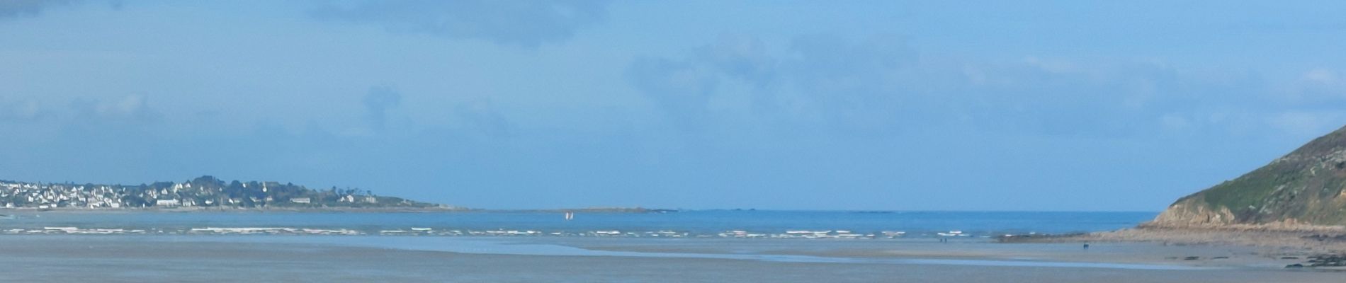
Saint-Michel-en-Grève
Location:
Unknown
Start:(Dec)
Start:(UTM)
458242 ; 5392441 (30U) N.
Comments