


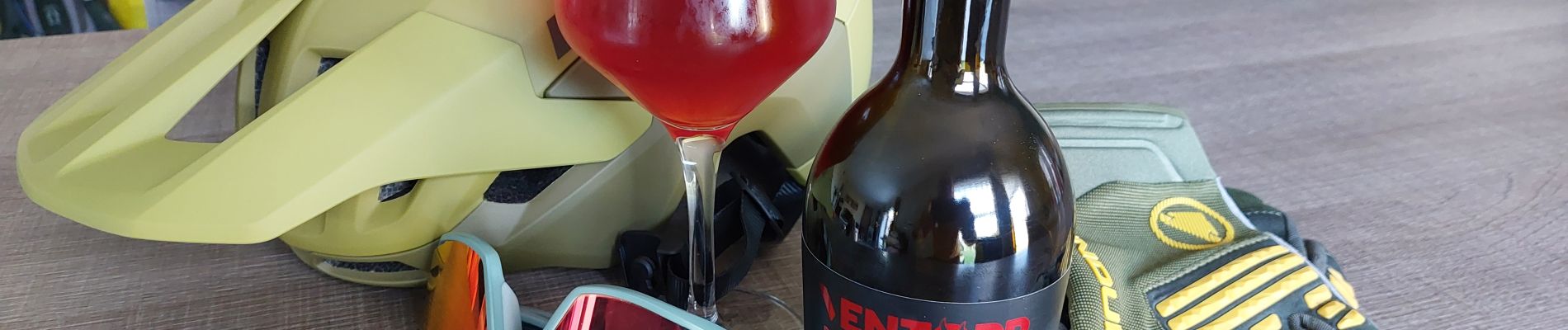
Sour Cherry Happy ride !!!

supercolas
User GUIDE

Length
43 km

Max alt
284 m

Uphill gradient
587 m
Km-Effort
51 km

Min alt
142 m

Downhill gradient
597 m
Boucle
Yes
Creation date :
2025-03-29 12:31:41.226
Updated on :
2025-03-30 11:29:27.77
2h45
Difficulty : Medium

FREE GPS app for hiking
 SityTrail
IGN / Geographical institutes
SityTrail Plus
The world is yours!
About
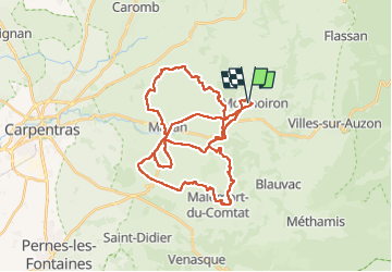
Trail Mountain bike of 43 km to be discovered at Provence-Alpes-Côte d'Azur, Vaucluse, Mormoiron. This trail is proposed by supercolas.
Description
Territoire de la Cerise
Photos

Positioning
Country:
France
Region :
Provence-Alpes-Côte d'Azur
Department/Province :
Vaucluse
Municipality :
Mormoiron
Location:
Unknown
Start:(Dec)
Start:(UTM)
674532 ; 4881687 (31T) N.
Comments