


JLR vic 2025 pat /Jl

papirabbit
User
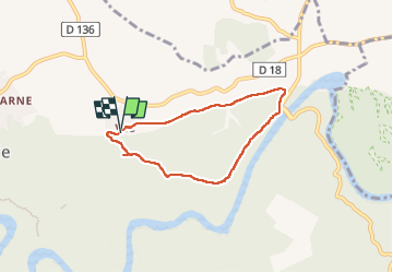

Length
5.9 km

Max alt
181 m

Uphill gradient
130 m
Km-Effort
7.7 km

Min alt
53 m

Downhill gradient
134 m
Boucle
Yes
Creation date :
2025-03-31 12:28:49.0
Updated on :
2025-03-31 14:54:21.355

FREE GPS app for hiking
 SityTrail
IGN / Geographical institutes
SityTrail Plus
The world is yours!
About
Trail of 5.9 km to be discovered at Occitania, Gard, Sainte-Anastasie. This trail is proposed by papirabbit.
Positioning
Country:
France
Region :
Occitania
Department/Province :
Gard
Municipality :
Sainte-Anastasie
Location:
Unknown
Start:(Dec)
Start:(UTM)
608420 ; 4866047 (31T) N.
Comments