


Charnay .. lcheikh

eltonnermou
User


2h43
Difficulty : Medium

FREE GPS app for hiking
 SityTrail
IGN / Geographical institutes
SityTrail Plus
The world is yours!
About
Trail Walking of 14.9 km to be discovered at Bourgogne-Franche-Comté, Doubs, Charnay. This trail is proposed by eltonnermou.
Description
parking de l'école primaire dir. Cessey
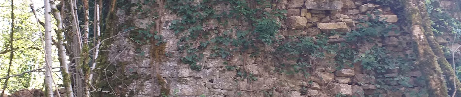
randonnée agréable à travers prairies et forêts qui à cette saison nous fait profiter de ses éclats de couleur. L'arrivée aux ruines du château de Charencey (au dessus de Chenecey Buillon) fait oublier cette montée douce. Le cheminement après, se fait en montée régulière, mais absolument rien de désagréable. Après avoir traversé le village de Cessey, vous cheminerez en sous bois. Profitez des différents espaces vous offrant de jolis points de vue, pour régaler vos yeux.
Laissez vous surprendre par le passage d’un ou plusieurs chevreuils et dans les parties escarpées de voir des chamois.
Photos


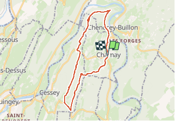
Positioning
Comments