


bechereau

galou29
User
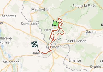

Length
21 km

Max alt
176 m

Uphill gradient
209 m
Km-Effort
24 km

Min alt
108 m

Downhill gradient
225 m
Boucle
No
Creation date :
2025-04-02 07:14:27.307
Updated on :
2025-04-02 11:56:44.401
2h42
Difficulty : Difficult

FREE GPS app for hiking
 SityTrail
IGN / Geographical institutes
SityTrail Plus
The world is yours!
About
Trail Walking of 21 km to be discovered at Ile-de-France, Yvelines, Hermeray. This trail is proposed by galou29.
Positioning
Country:
France
Region :
Ile-de-France
Department/Province :
Yvelines
Municipality :
Hermeray
Location:
Unknown
Start:(Dec)
Start:(UTM)
402374 ; 5387975 (31U) N.
Comments