


Lublé - Meigné-le-Vicomte - 14.1km 70m 3h05 - 2025 04 02

Orcal37
User GUIDE
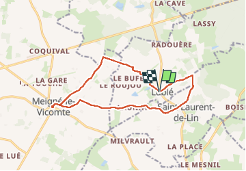

Length
14.1 km

Max alt
94 m

Uphill gradient
68 m
Km-Effort
15 km

Min alt
69 m

Downhill gradient
70 m
Boucle
Yes
Creation date :
2025-04-02 11:19:30.719
Updated on :
2025-04-13 14:26:18.639
3h05
Difficulty : Easy

FREE GPS app for hiking
 SityTrail
IGN / Geographical institutes
SityTrail Plus
The world is yours!
About
Trail Walking of 14.1 km to be discovered at Centre-Loire Valley, Indre-et-Loire, Lublé. This trail is proposed by Orcal37.
Description
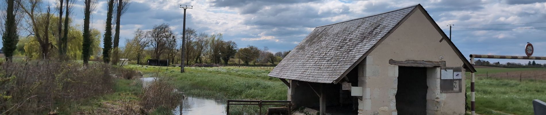
Lublé - Meigné-le-Vicomte via GRP Castelvalérie et PR - 14.1km 70m 3h05 - 2025 04 02
Photos


Positioning
Country:
France
Region :
Centre-Loire Valley
Department/Province :
Indre-et-Loire
Municipality :
Lublé
Location:
Unknown
Start:(Dec)
Start:(UTM)
292559 ; 5266061 (31T) N.
Comments