


PLATEAU DE LA BADE

walrou63
User
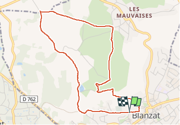

Length
5.4 km

Max alt
512 m

Uphill gradient
118 m
Km-Effort
7 km

Min alt
400 m

Downhill gradient
119 m
Boucle
Yes
Creation date :
2025-04-03 12:14:46.939
Updated on :
2025-04-03 15:05:53.22
1h30
Difficulty : Medium

FREE GPS app for hiking
 SityTrail
IGN / Geographical institutes
SityTrail Plus
The world is yours!
About
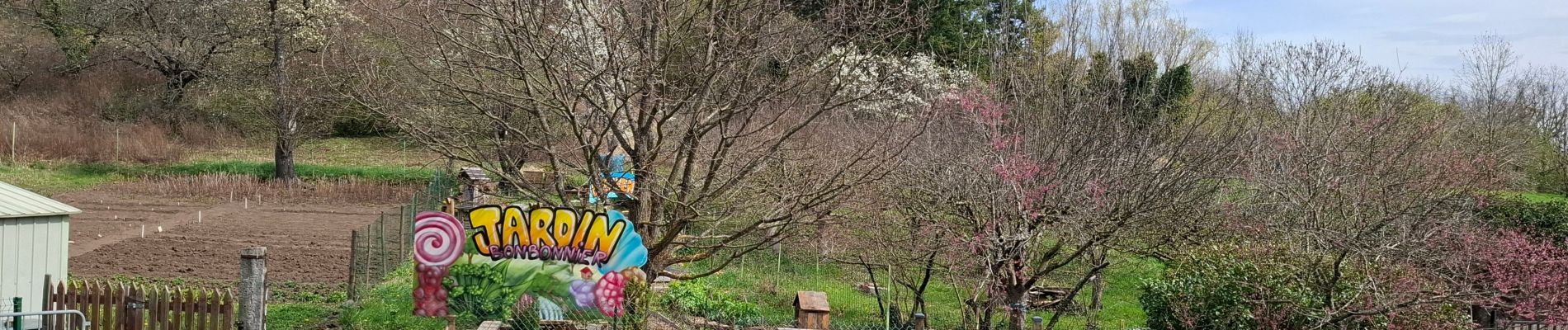
Trail Walking of 5.4 km to be discovered at Auvergne-Rhône-Alpes, Puy-de-Dôme, Blanzat. This trail is proposed by walrou63.
Photos


Positioning
Country:
France
Region :
Auvergne-Rhône-Alpes
Department/Province :
Puy-de-Dôme
Municipality :
Blanzat
Location:
Unknown
Start:(Dec)
Start:(UTM)
505764 ; 5075013 (31T) N.
Comments