


la rando des chemins privé s

Christian Grétry
User
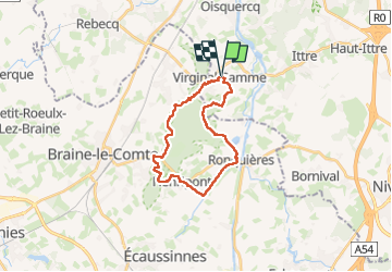

Length
21 km

Max alt
173 m

Uphill gradient
386 m
Km-Effort
26 km

Min alt
57 m

Downhill gradient
387 m
Boucle
Yes
Creation date :
2025-03-23 08:52:48.712
Updated on :
2025-04-04 06:10:39.929
4h58
Difficulty : Medium

FREE GPS app for hiking
 SityTrail
IGN / Geographical institutes
SityTrail Plus
The world is yours!
About
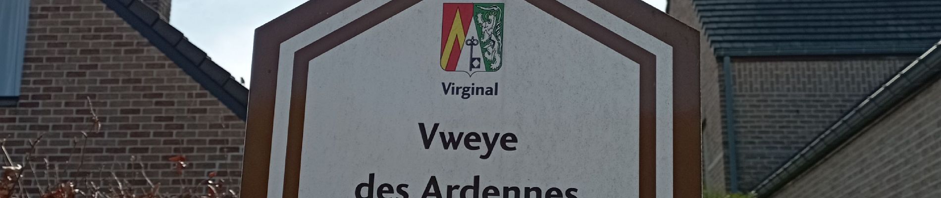
Trail Walking of 21 km to be discovered at Wallonia, Walloon Brabant, Ittre. This trail is proposed by Christian Grétry.
Photos

Positioning
Country:
Belgium
Region :
Wallonia
Department/Province :
Walloon Brabant
Municipality :
Ittre
Location:
Unknown
Start:(Dec)
Start:(UTM)
585641 ; 5610688 (31U) N.
Comments