


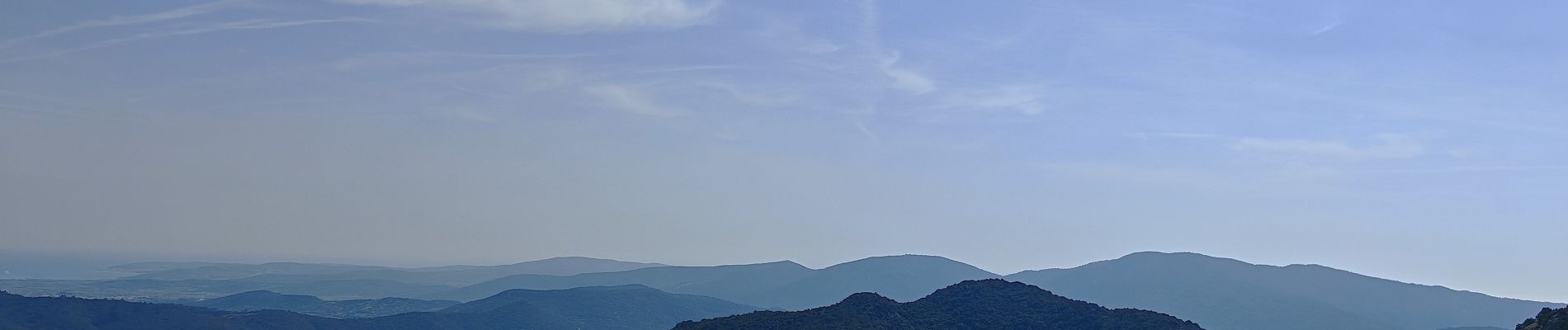
les hauts de la Verne

bernir
User
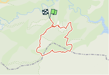

Length
8.1 km

Max alt
541 m

Uphill gradient
202 m
Km-Effort
10.8 km

Min alt
382 m

Downhill gradient
202 m
Boucle
Yes
Creation date :
2025-04-04 09:27:16.297
Updated on :
2025-04-04 09:49:01.978
2h26
Difficulty : Medium

FREE GPS app for hiking
 SityTrail
IGN / Geographical institutes
SityTrail Plus
The world is yours!
About
Trail Walking of 8.1 km to be discovered at Provence-Alpes-Côte d'Azur, Var, Collobrières. This trail is proposed by bernir.
Photos


Positioning
Country:
France
Region :
Provence-Alpes-Côte d'Azur
Department/Province :
Var
Municipality :
Collobrières
Location:
Unknown
Start:(Dec)
Start:(UTM)
288610 ; 4790520 (32T) N.
Comments