


vendredi pourri

Laurent Alerte 2
User
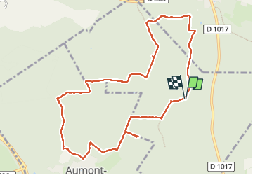

Length
10.7 km

Max alt
152 m

Uphill gradient
152 m
Km-Effort
12.8 km

Min alt
97 m

Downhill gradient
155 m
Boucle
Yes
Creation date :
2025-04-04 07:40:18.837
Updated on :
2025-04-04 10:55:36.688
3h14
Difficulty : Difficult

FREE GPS app for hiking
 SityTrail
IGN / Geographical institutes
SityTrail Plus
The world is yours!
About
Trail Walking of 10.7 km to be discovered at Hauts-de-France, Oise, Senlis. This trail is proposed by Laurent Alerte 2.
Description
rando à refaire
Positioning
Country:
France
Region :
Hauts-de-France
Department/Province :
Oise
Municipality :
Senlis
Location:
Unknown
Start:(Dec)
Start:(UTM)
469321 ; 5454413 (31U) N.
Comments