


Nans les pins - sources de l'huveaune

jean-marie.parachini
User


Length
10 km

Max alt
525 m

Uphill gradient
269 m
Km-Effort
13.6 km

Min alt
396 m

Downhill gradient
268 m
Boucle
Yes
Creation date :
2025-04-03 08:05:56.621
Updated on :
2025-04-04 12:27:48.659
27h54
Difficulty : Medium

FREE GPS app for hiking
 SityTrail
IGN / Geographical institutes
SityTrail Plus
The world is yours!
About
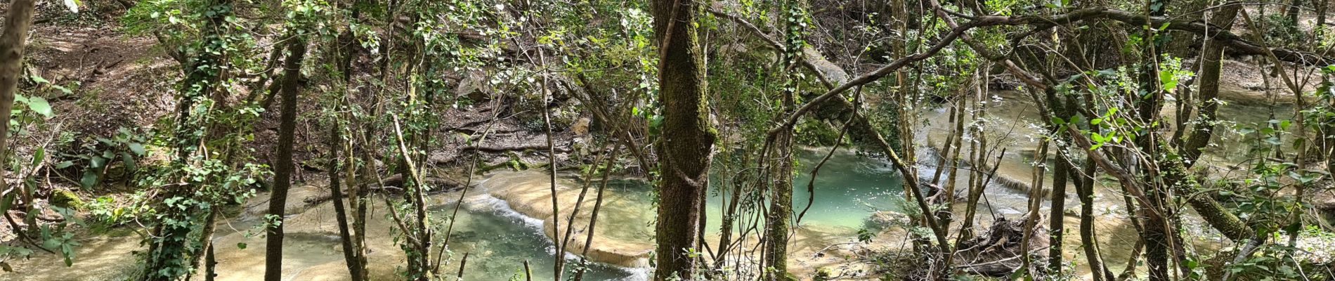
Trail Walking of 10 km to be discovered at Provence-Alpes-Côte d'Azur, Var, Nans-les-Pins. This trail is proposed by jean-marie.parachini.
Photos


Positioning
Country:
France
Region :
Provence-Alpes-Côte d'Azur
Department/Province :
Var
Municipality :
Nans-les-Pins
Location:
Unknown
Start:(Dec)
Start:(UTM)
725536 ; 4805581 (31T) N.
Comments