


sommet du Bessillon

jeff2
User
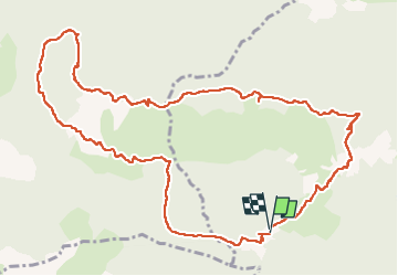

Length
14.1 km

Max alt
807 m

Uphill gradient
531 m
Km-Effort
21 km

Min alt
314 m

Downhill gradient
524 m
Boucle
Yes
Creation date :
2025-04-04 07:19:02.716
Updated on :
2025-04-04 14:18:08.559
6h58
Difficulty : Medium

FREE GPS app for hiking
 SityTrail
IGN / Geographical institutes
SityTrail Plus
The world is yours!
About
Trail Walking of 14.1 km to be discovered at Provence-Alpes-Côte d'Azur, Var, Cotignac. This trail is proposed by jeff2.
Description
Il a un peu de D mais ça passe fingers in the noze
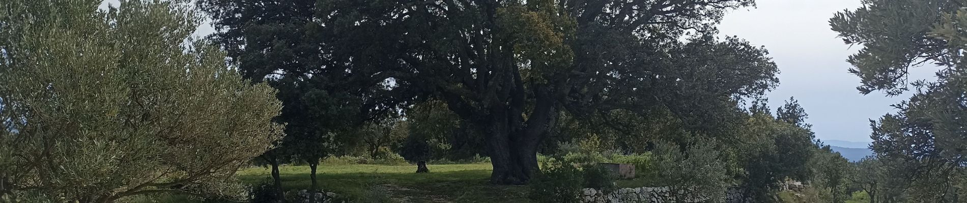
Photos


Positioning
Country:
France
Region :
Provence-Alpes-Côte d'Azur
Department/Province :
Var
Municipality :
Cotignac
Location:
Unknown
Start:(Dec)
Start:(UTM)
266153 ; 4822757 (32T) N.
Comments