


Sortie VTT du 05/04/2025

VANDERPUTTENMi
User GUIDE
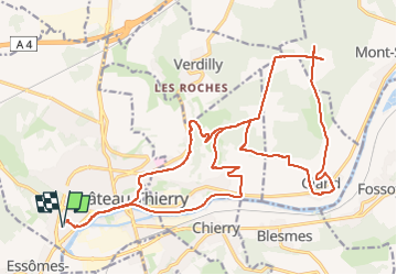

Length
26 km

Max alt
226 m

Uphill gradient
422 m
Km-Effort
31 km

Min alt
56 m

Downhill gradient
423 m
Boucle
Yes
Creation date :
2025-04-05 11:57:37.285
Updated on :
2025-04-05 19:33:46.074
1h52
Difficulty : Difficult

FREE GPS app for hiking
 SityTrail
IGN / Geographical institutes
SityTrail Plus
The world is yours!
About
Trail Mountain bike of 26 km to be discovered at Hauts-de-France, Aisne, Château-Thierry. This trail is proposed by VANDERPUTTENMi.
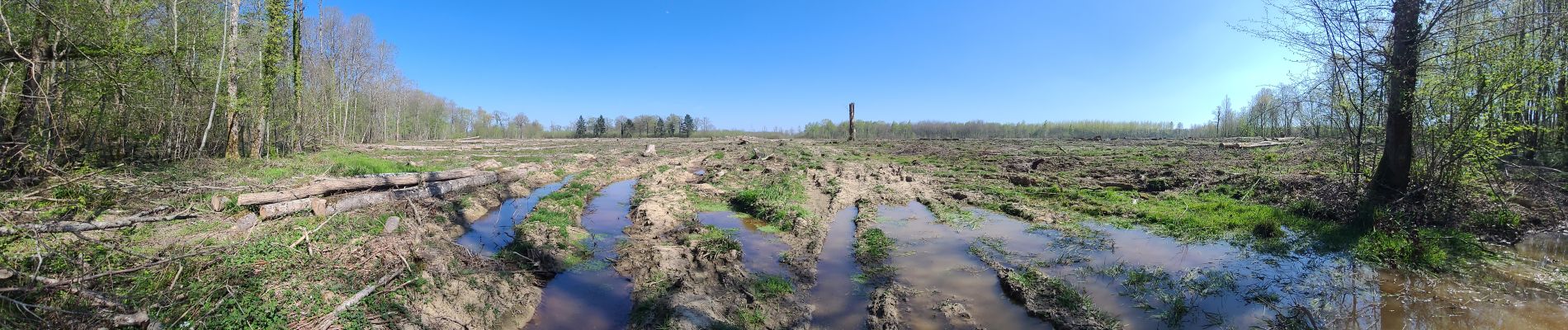
Photos

Positioning
Country:
France
Region :
Hauts-de-France
Department/Province :
Aisne
Municipality :
Château-Thierry
Location:
Unknown
Start:(Dec)
Start:(UTM)
527961 ; 5431956 (31U) N.
Comments