


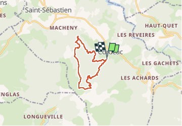
tour de la forêt domaniale de Chatel

bailleulherve
User

Length
11.2 km

Max alt
1560 m

Uphill gradient
762 m
Km-Effort
21 km

Min alt
940 m

Downhill gradient
770 m
Boucle
Yes
Creation date :
2025-04-06 09:01:05.377
Updated on :
2025-04-06 13:29:29.977
4h27
Difficulty : Easy

FREE GPS app for hiking
 SityTrail
IGN / Geographical institutes
SityTrail Plus
The world is yours!
About
Trail Walking of 11.2 km to be discovered at Auvergne-Rhône-Alpes, Isère, Châtel-en-Trièves. This trail is proposed by bailleulherve.
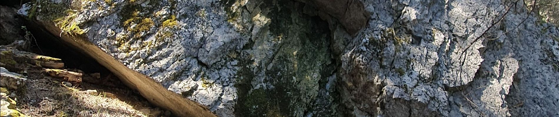
Photos


Positioning
Country:
France
Region :
Auvergne-Rhône-Alpes
Department/Province :
Isère
Municipality :
Châtel-en-Trièves
Location:
Cordéac
Start:(Dec)
Start:(UTM)
724378 ; 4967284 (31T) N.
Comments