


Rosheim Rosenwiller Boersch Bischenberg

VacheKiri67
User
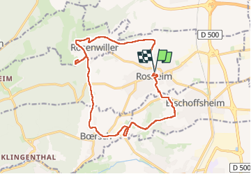

Length
16.8 km

Max alt
361 m

Uphill gradient
422 m
Km-Effort
22 km

Min alt
184 m

Downhill gradient
421 m
Boucle
Yes
Creation date :
2025-04-06 08:33:08.74
Updated on :
2025-04-16 11:01:27.023
5h10
Difficulty : Medium

FREE GPS app for hiking
 SityTrail
IGN / Geographical institutes
SityTrail Plus
The world is yours!
About
Trail Walking of 16.8 km to be discovered at Grand Est, Bas-Rhin, Rosheim. This trail is proposed by VacheKiri67.
Description
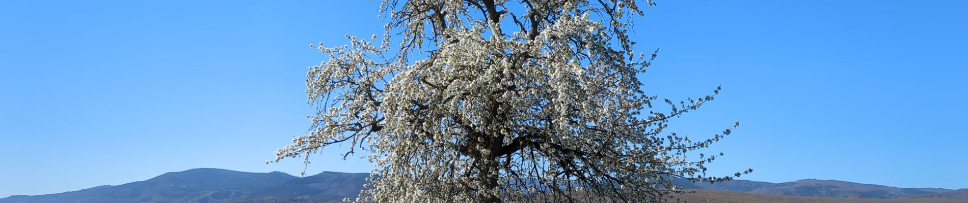
Faite le 06/04/2025 avec notre amie Annie.
Photos


23 photos in total. Please click on a photo to see them all in the gallery.
Positioning
Country:
France
Region :
Grand Est
Department/Province :
Bas-Rhin
Municipality :
Rosheim
Location:
Unknown
Start:(Dec)
Start:(UTM)
387001 ; 5372752 (32U) N.
Comments