


Saillant_St_Nectaire

jagarnier
User GUIDE
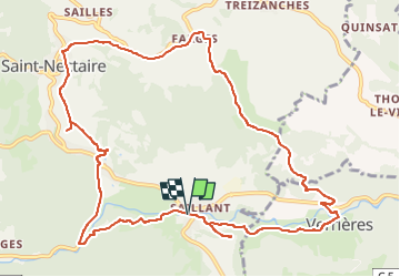

Length
12.8 km

Max alt
876 m

Uphill gradient
358 m
Km-Effort
17.6 km

Min alt
592 m

Downhill gradient
356 m
Boucle
Yes
Creation date :
2025-04-06 15:30:15.549
Updated on :
2025-04-08 08:20:50.8
3h45
Difficulty : Medium

FREE GPS app for hiking
 SityTrail
IGN / Geographical institutes
SityTrail Plus
The world is yours!
About
Trail Walking of 12.8 km to be discovered at Auvergne-Rhône-Alpes, Puy-de-Dôme, Saint-Nectaire. This trail is proposed by jagarnier.
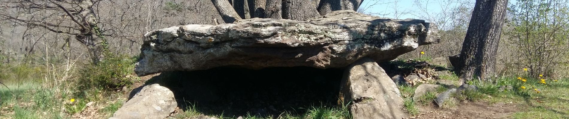
Photos

Positioning
Country:
France
Region :
Auvergne-Rhône-Alpes
Department/Province :
Puy-de-Dôme
Municipality :
Saint-Nectaire
Location:
Unknown
Start:(Dec)
Start:(UTM)
501039 ; 5046529 (31T) N.
Comments