


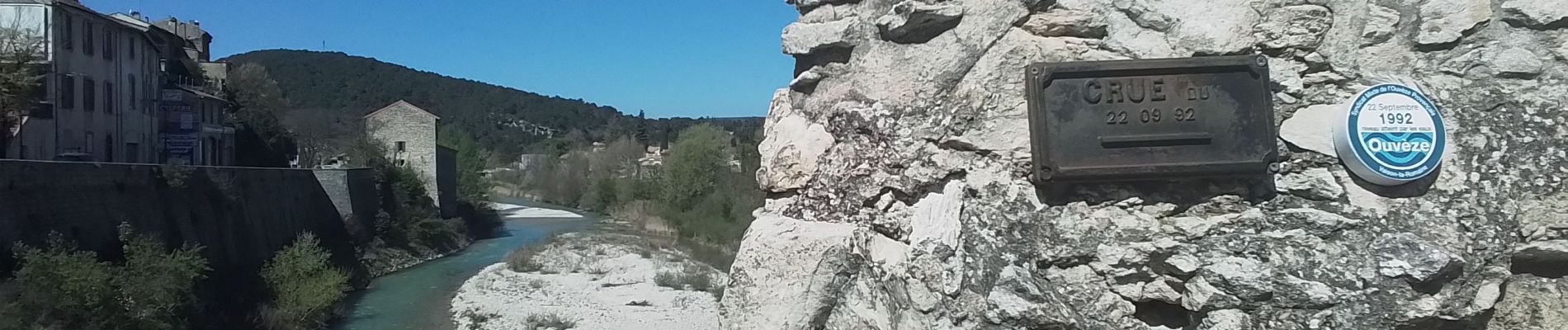
Vaison la romaine site archéologique

JEANJOSY
User
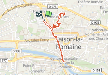

Length
2.3 km

Max alt
226 m

Uphill gradient
23 m
Km-Effort
2.6 km

Min alt
207 m

Downhill gradient
23 m
Boucle
Yes
Creation date :
2025-04-06 07:52:46.822
Updated on :
2025-04-06 16:45:21.416
1h01
Difficulty : Very easy

FREE GPS app for hiking
 SityTrail
IGN / Geographical institutes
SityTrail Plus
The world is yours!
About
Trail Walking of 2.3 km to be discovered at Provence-Alpes-Côte d'Azur, Vaucluse, Vaison-la-Romaine. This trail is proposed by JEANJOSY.
Description
visite du site
Photos


Positioning
Country:
France
Region :
Provence-Alpes-Côte d'Azur
Department/Province :
Vaucluse
Municipality :
Vaison-la-Romaine
Location:
Unknown
Start:(Dec)
Start:(UTM)
665468 ; 4900956 (31T) N.
Comments