


les rives gaillac

lablaquiere
User
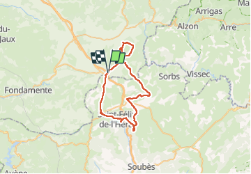

Length
53 km

Max alt
818 m

Uphill gradient
747 m
Km-Effort
63 km

Min alt
604 m

Downhill gradient
745 m
Boucle
Yes
Creation date :
2025-04-06 08:08:50.548
Updated on :
2025-04-06 17:00:12.028
4h47
Difficulty : Very difficult

FREE GPS app for hiking
 SityTrail
IGN / Geographical institutes
SityTrail Plus
The world is yours!
About
Trail Mountain bike of 53 km to be discovered at Occitania, Aveyron, La Couvertoirade. This trail is proposed by lablaquiere.
Positioning
Country:
France
Region :
Occitania
Department/Province :
Aveyron
Municipality :
La Couvertoirade
Location:
Unknown
Start:(Dec)
Start:(UTM)
522627 ; 4860963 (31T) N.
Comments