


Marcinelle 7 04 25

andremusin
User
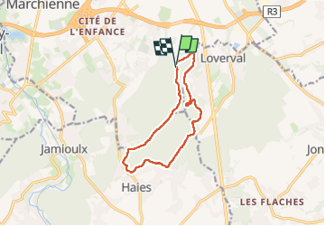

Length
10.1 km

Max alt
237 m

Uphill gradient
161 m
Km-Effort
12.2 km

Min alt
137 m

Downhill gradient
159 m
Boucle
Yes
Creation date :
2025-04-07 07:37:32.091
Updated on :
2025-04-07 10:01:16.974
2h09
Difficulty : Very easy

FREE GPS app for hiking
 SityTrail
IGN / Geographical institutes
SityTrail Plus
The world is yours!
About
Trail Nordic walking of 10.1 km to be discovered at Wallonia, Hainaut, Charleroi. This trail is proposed by andremusin.
Positioning
Country:
Belgium
Region :
Wallonia
Department/Province :
Hainaut
Municipality :
Charleroi
Location:
Unknown
Start:(Dec)
Start:(UTM)
603506 ; 5581153 (31U) N.
Comments