


autour de cadolive

ARPF1
User

Length
9.3 km

Max alt
612 m

Uphill gradient
301 m
Km-Effort
13.3 km

Min alt
367 m

Downhill gradient
298 m
Boucle
Yes
Creation date :
2025-04-07 12:02:17.159
Updated on :
2025-04-07 14:35:25.576
2h22
Difficulty : Medium

FREE GPS app for hiking
 SityTrail
IGN / Geographical institutes
SityTrail Plus
The world is yours!
About
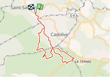
Trail Walking of 9.3 km to be discovered at Provence-Alpes-Côte d'Azur, Bouches-du-Rhône, Saint-Savournin. This trail is proposed by ARPF1.
Description
randonnée sur pistes et sentiers
Positioning
Country:
France
Region :
Provence-Alpes-Côte d'Azur
Department/Province :
Bouches-du-Rhône
Municipality :
Saint-Savournin
Location:
Unknown
Start:(Dec)
Start:(UTM)
705061 ; 4808777 (31T) N.
Comments