


Le Coteau - Parc de Varennes

Jgar
User
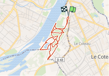

Length
4.8 km

Max alt
280 m

Uphill gradient
31 m
Km-Effort
5.2 km

Min alt
267 m

Downhill gradient
29 m
Boucle
Yes
Creation date :
2025-04-07 12:43:36.0
Updated on :
2025-04-19 14:49:09.936
1h10
Difficulty : Easy

FREE GPS app for hiking
 SityTrail
IGN / Geographical institutes
SityTrail Plus
The world is yours!
About
Trail Walking of 4.8 km to be discovered at Auvergne-Rhône-Alpes, Loire, Roanne. This trail is proposed by Jgar.
Description
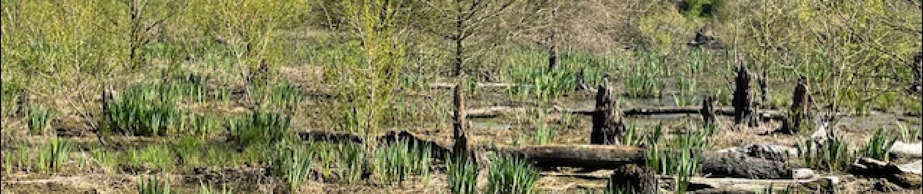
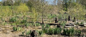
Petite balade pour personnes âgées.
Au parking du quai Pierre Semard, descendre l'allée Claude Barge pour rejoindre le parc de Varennes..
Photos

Positioning
Country:
France
Region :
Auvergne-Rhône-Alpes
Department/Province :
Loire
Municipality :
Roanne
Location:
Unknown
Start:(Dec)
Start:(UTM)
583766 ; 5097781 (31T) N.
Comments