


moret rocher brûlé

jcm17
User
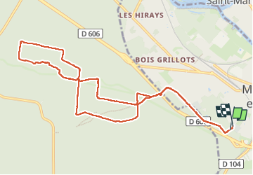

Length
11.4 km

Max alt
112 m

Uphill gradient
97 m
Km-Effort
12.7 km

Min alt
91 m

Downhill gradient
107 m
Boucle
Yes
Creation date :
2025-04-09 07:05:12.35
Updated on :
2025-04-09 10:12:40.963
3h06
Difficulty : Difficult

FREE GPS app for hiking
 SityTrail
IGN / Geographical institutes
SityTrail Plus
The world is yours!
About
Trail Walking of 11.4 km to be discovered at Ile-de-France, Seine-et-Marne, Moret-Loing-et-Orvanne. This trail is proposed by jcm17.
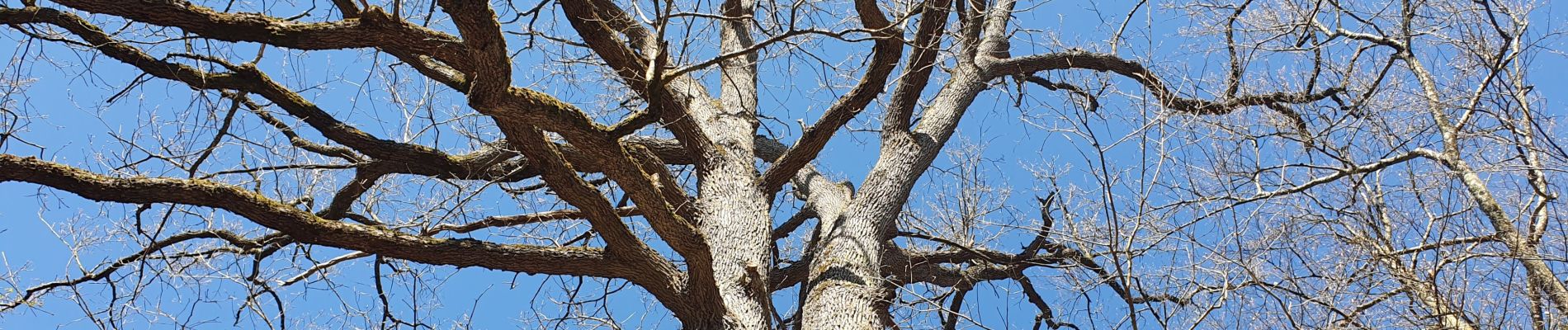
Photos

Positioning
Country:
France
Region :
Ile-de-France
Department/Province :
Seine-et-Marne
Municipality :
Moret-Loing-et-Orvanne
Location:
Moret-sur-Loing
Start:(Dec)
Start:(UTM)
485534 ; 5357174 (31U) N.
Comments