


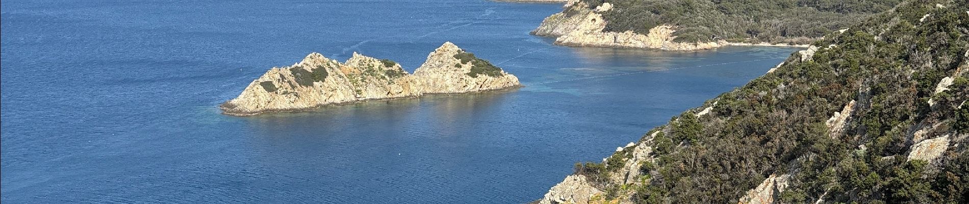
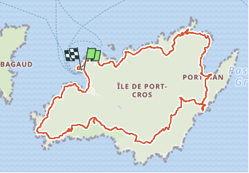
Tour de l’île de Port Cros

GeorgesV.
User

Length
15.4 km

Max alt
196 m

Uphill gradient
561 m
Km-Effort
23 km

Min alt
0 m

Downhill gradient
558 m
Boucle
Yes
Creation date :
2025-04-09 08:16:27.0
Updated on :
2025-04-09 20:14:14.719
6h13
Difficulty : Difficult

FREE GPS app for hiking
 SityTrail
IGN / Geographical institutes
SityTrail Plus
The world is yours!
About
Trail Walking of 15.4 km to be discovered at Provence-Alpes-Côte d'Azur, Var, Hyères. This trail is proposed by GeorgesV..
Photos


Positioning
Country:
France
Region :
Provence-Alpes-Côte d'Azur
Department/Province :
Var
Municipality :
Hyères
Location:
Unknown
Start:(Dec)
Start:(UTM)
286664 ; 4765265 (32T) N.
Comments