


les six cols depuis Rochebrune (26)

dcharbonnier
User
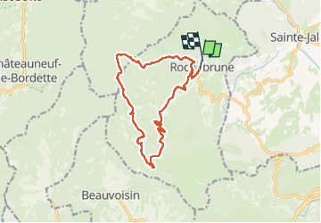

Length
14.9 km

Max alt
937 m

Uphill gradient
585 m
Km-Effort
23 km

Min alt
534 m

Downhill gradient
580 m
Boucle
No
Creation date :
2025-04-10 07:56:17.824
Updated on :
2025-04-10 12:57:17.805
4h59
Difficulty : Difficult

FREE GPS app for hiking
 SityTrail
IGN / Geographical institutes
SityTrail Plus
The world is yours!
About
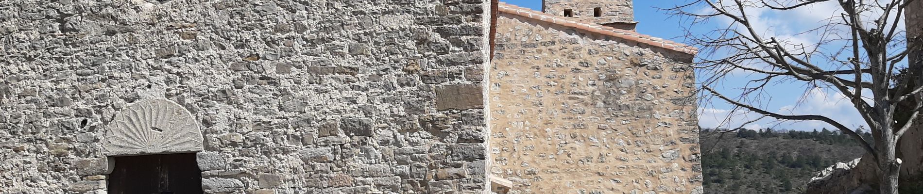
Trail Walking of 14.9 km to be discovered at Auvergne-Rhône-Alpes, Drôme, Rochebrune. This trail is proposed by dcharbonnier.
Photos
 - Photo 1")
 - Photo 2")
 - Photo 3")
 - Photo 4")
 - Photo 5")
 - Photo 6")
 - Photo 7")
 - Photo 8")
 - Photo 9")
Positioning
Country:
France
Region :
Auvergne-Rhône-Alpes
Department/Province :
Drôme
Municipality :
Rochebrune
Location:
Unknown
Start:(Dec)
Start:(UTM)
678976 ; 4911665 (31T) N.
Comments