


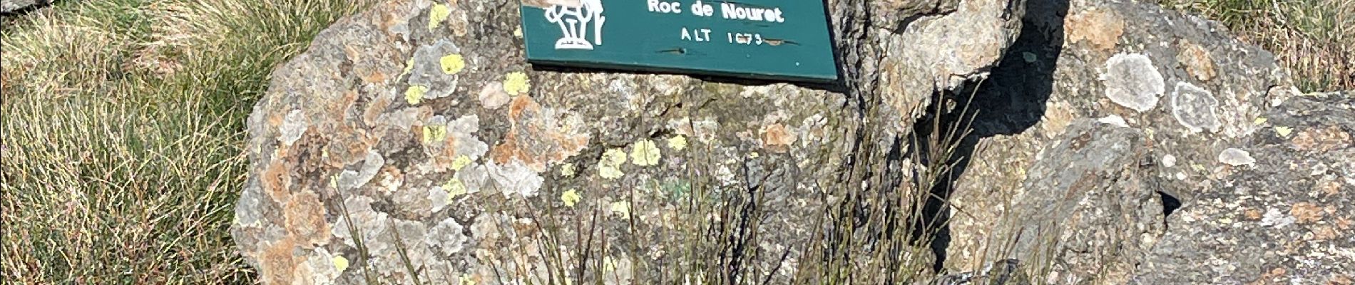
Pic de nouret

jl_chocho
User
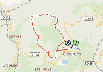

Length
8.3 km

Max alt
1068 m

Uphill gradient
327 m
Km-Effort
12.7 km

Min alt
818 m

Downhill gradient
327 m
Boucle
Yes
Creation date :
2025-04-10 06:55:31.0
Updated on :
2025-04-10 15:31:11.661
2h52
Difficulty : Difficult

FREE GPS app for hiking
 SityTrail
IGN / Geographical institutes
SityTrail Plus
The world is yours!
About
Trail Walking of 8.3 km to be discovered at Occitania, Aude, Pradelles-Cabardès. This trail is proposed by jl_chocho.
Photos

Positioning
Country:
France
Region :
Occitania
Department/Province :
Aude
Municipality :
Pradelles-Cabardès
Location:
Unknown
Start:(Dec)
Start:(UTM)
455146 ; 4806328 (31T) N.
Comments