


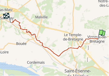
De Vigneux de Bretagne à Savenay

phimar_2612
User

Length
24 km

Max alt
90 m

Uphill gradient
326 m
Km-Effort
29 km

Min alt
10 m

Downhill gradient
375 m
Boucle
No
Creation date :
2025-04-10 09:13:13.237
Updated on :
2025-04-27 12:37:14.194
6h34
Difficulty : Very difficult

FREE GPS app for hiking
 SityTrail
IGN / Geographical institutes
SityTrail Plus
The world is yours!
About
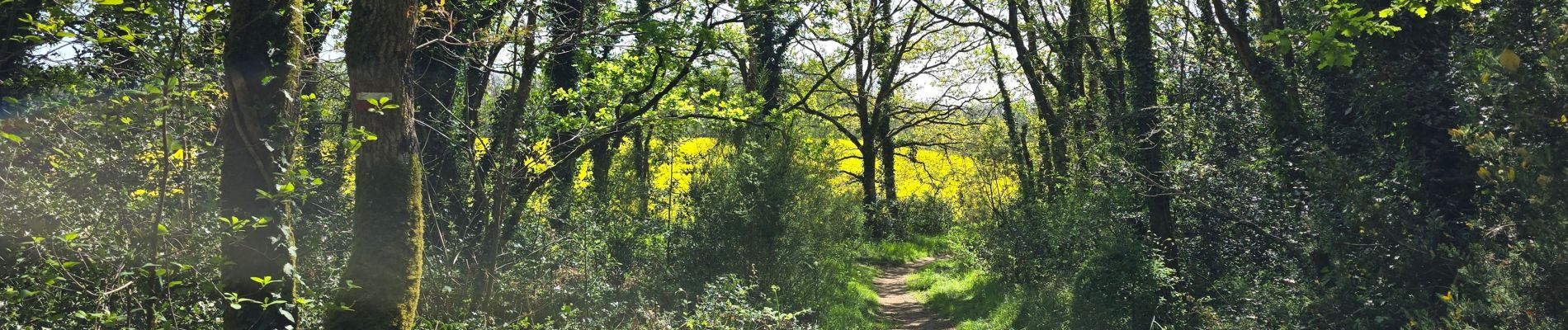
Trail Walking of 24 km to be discovered at Pays de la Loire, Loire-Atlantique, Vigneux-de-Bretagne. This trail is proposed by phimar_2612.
Photos


Positioning
Country:
France
Region :
Pays de la Loire
Department/Province :
Loire-Atlantique
Municipality :
Vigneux-de-Bretagne
Location:
Unknown
Start:(Dec)
Start:(UTM)
595573 ; 5242130 (30T) N.
Comments