


De carry à Carro- côte bleue

marchev
User
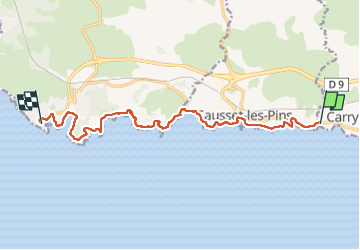

Length
12.9 km

Max alt
18 m

Uphill gradient
108 m
Km-Effort
14.4 km

Min alt
0 m

Downhill gradient
113 m
Boucle
No
Creation date :
2025-04-13 07:10:39.648
Updated on :
2025-04-13 12:29:02.753
3h28
Difficulty : Medium

FREE GPS app for hiking
 SityTrail
IGN / Geographical institutes
SityTrail Plus
The world is yours!
About
Trail Walking of 12.9 km to be discovered at Provence-Alpes-Côte d'Azur, Bouches-du-Rhône, Carry-le-Rouet. This trail is proposed by marchev.
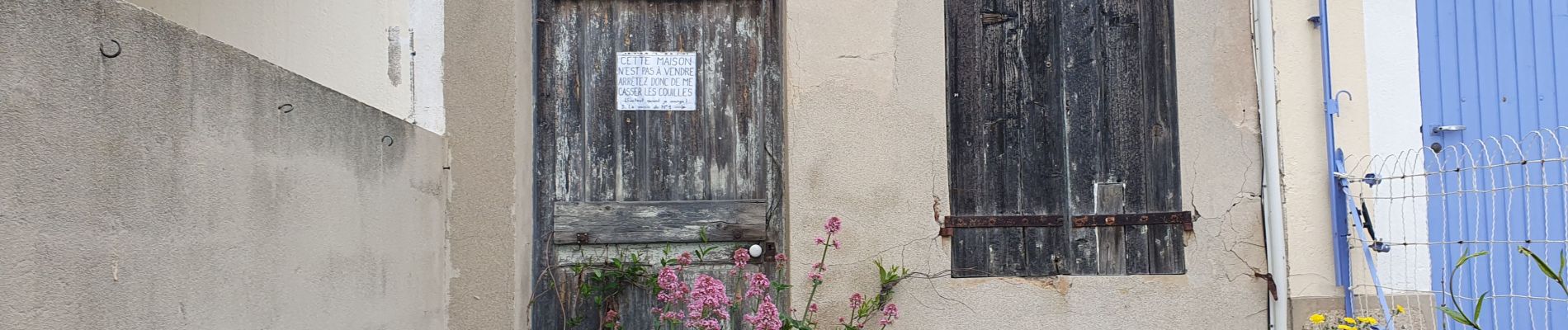
Photos


Positioning
Country:
France
Region :
Provence-Alpes-Côte d'Azur
Department/Province :
Bouches-du-Rhône
Municipality :
Carry-le-Rouet
Location:
Unknown
Start:(Dec)
Start:(UTM)
673109 ; 4799666 (31T) N.
Comments