


Le Puy-en-Velay saint-privat-d'Allier

elianette
User
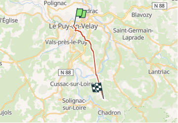

Length
10.3 km

Max alt
891 m

Uphill gradient
514 m
Km-Effort
16.5 km

Min alt
621 m

Downhill gradient
315 m
Boucle
No
Creation date :
2025-04-14 07:08:26.336
Updated on :
2025-04-14 13:26:35.633
1h40
Difficulty : Very easy

FREE GPS app for hiking
 SityTrail
IGN / Geographical institutes
SityTrail Plus
The world is yours!
About
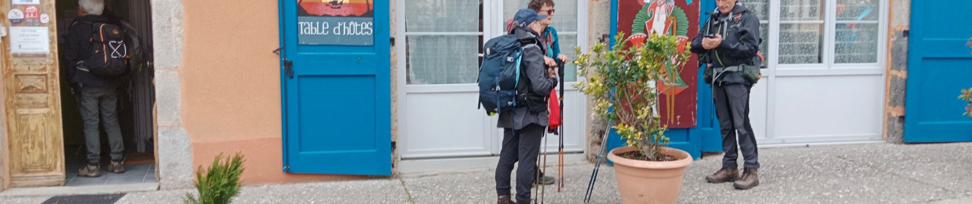
Trail Nordic walking of 10.3 km to be discovered at Auvergne-Rhône-Alpes, Haute-Loire, Aiguilhe. This trail is proposed by elianette.
Photos


Positioning
Country:
France
Region :
Auvergne-Rhône-Alpes
Department/Province :
Haute-Loire
Municipality :
Aiguilhe
Location:
Unknown
Start:(Dec)
Start:(UTM)
569826 ; 4988630 (31T) N.
Comments