


Venelles collet Redon

MAUVAGE Patrick
User
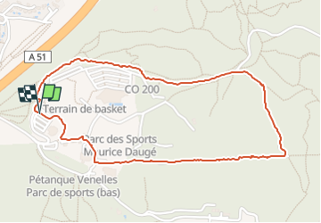

Length
2.6 km

Max alt
419 m

Uphill gradient
38 m
Km-Effort
3.1 km

Min alt
385 m

Downhill gradient
41 m
Boucle
Yes
Creation date :
2025-04-15 07:40:11.0
Updated on :
2025-04-15 08:28:05.539
47m
Difficulty : Easy

FREE GPS app for hiking
 SityTrail
IGN / Geographical institutes
SityTrail Plus
The world is yours!
About
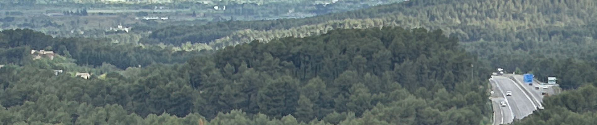
Trail Walking of 2.6 km to be discovered at Provence-Alpes-Côte d'Azur, Bouches-du-Rhône, Venelles. This trail is proposed by MAUVAGE Patrick.
Photos

Positioning
Country:
France
Region :
Provence-Alpes-Côte d'Azur
Department/Province :
Bouches-du-Rhône
Municipality :
Venelles
Location:
Unknown
Start:(Dec)
Start:(UTM)
701158 ; 4830058 (31T) N.
Comments