


Brasles du 15-04-2025

VANDERPUTTENMi
User GUIDE


Length
8.2 km

Max alt
208 m

Uphill gradient
176 m
Km-Effort
10.6 km

Min alt
56 m

Downhill gradient
176 m
Boucle
Yes
Creation date :
2025-04-15 11:42:22.935
Updated on :
2025-04-15 16:38:18.397
2h24
Difficulty : Medium

FREE GPS app for hiking
 SityTrail
IGN / Geographical institutes
SityTrail Plus
The world is yours!
About
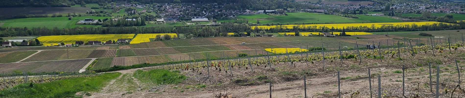
Trail Walking of 8.2 km to be discovered at Hauts-de-France, Aisne, Brasles. This trail is proposed by VANDERPUTTENMi.
Photos

Positioning
Country:
France
Region :
Hauts-de-France
Department/Province :
Aisne
Municipality :
Brasles
Location:
Unknown
Start:(Dec)
Start:(UTM)
531176 ; 5433437 (31U) N.
Comments