


chateau de malmort mort

Christine Cadas
User
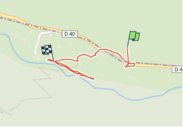

Length
785 m

Max alt
494 m

Uphill gradient
20 m
Km-Effort
1.1 km

Min alt
448 m

Downhill gradient
22 m
Boucle
No
Creation date :
2025-04-21 07:17:37.002
Updated on :
2025-04-21 08:03:43.774
28m
Difficulty : Easy

FREE GPS app for hiking
 SityTrail
IGN / Geographical institutes
SityTrail Plus
The world is yours!
About
Trail Walking of 785 m to be discovered at Provence-Alpes-Côte d'Azur, Maritime Alps, Fontan. This trail is proposed by Christine Cadas.

Positioning
Country:
France
Region :
Provence-Alpes-Côte d'Azur
Department/Province :
Maritime Alps
Municipality :
Fontan
Location:
Unknown
Start:(Dec)
Start:(UTM)
382546 ; 4872324 (32T) N.
Comments