


Caunet

sacadostcv
User
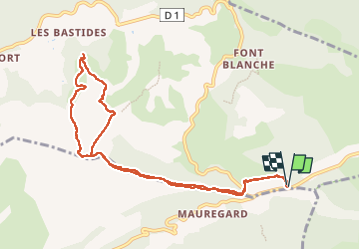

Length
10.7 km

Max alt
558 m

Uphill gradient
258 m
Km-Effort
14.2 km

Min alt
397 m

Downhill gradient
258 m
Boucle
Yes
Creation date :
2025-04-21 07:49:30.577
Updated on :
2025-04-21 14:13:23.246
5h31
Difficulty : Difficult

FREE GPS app for hiking
 SityTrail
IGN / Geographical institutes
SityTrail Plus
The world is yours!
About
Trail Walking of 10.7 km to be discovered at Provence-Alpes-Côte d'Azur, Bouches-du-Rhône, Roquefort-la-Bédoule. This trail is proposed by sacadostcv.
Positioning
Country:
France
Region :
Provence-Alpes-Côte d'Azur
Department/Province :
Bouches-du-Rhône
Municipality :
Roquefort-la-Bédoule
Location:
Unknown
Start:(Dec)
Start:(UTM)
717426 ; 4790498 (31T) N.
Comments