


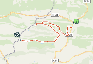


10.3 km | 14 km-effort

User


FREE GPS app for hiking
 SityTrail
IGN / Geographical institutes
SityTrail World
The world is yours!
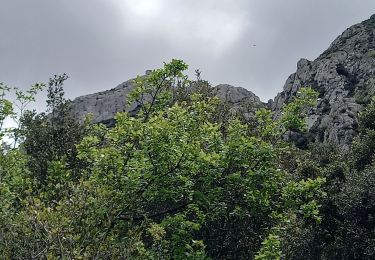
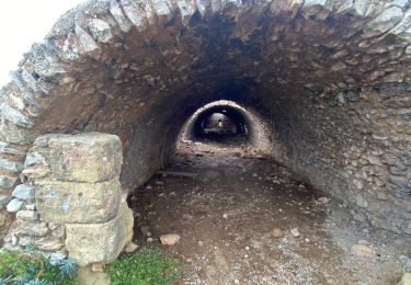
Trail Other activity of 6.9 km to be discovered at Provence-Alpes-Côte d'Azur, Bouches-du-Rhône, Mouriès. This trail is proposed by Vin100@33.
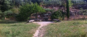
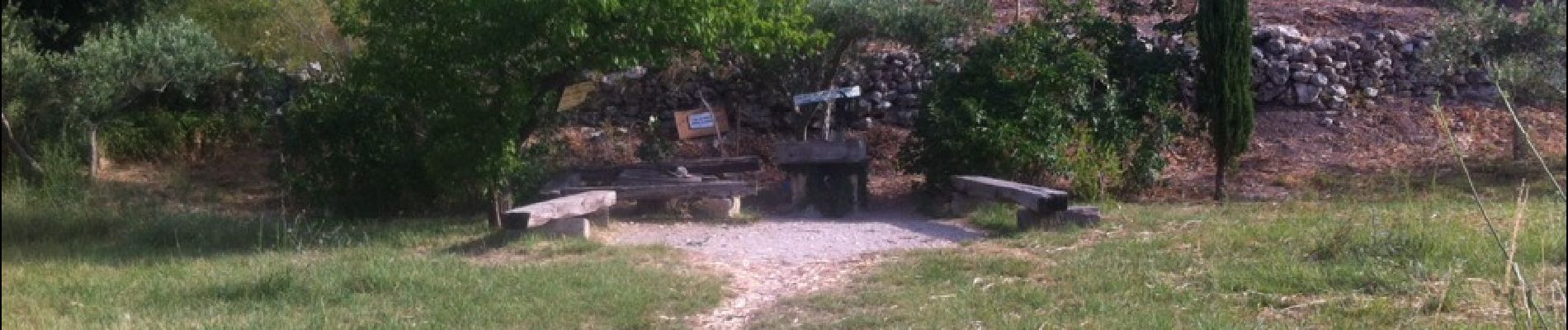
Le long du canal vers golf.


Walking
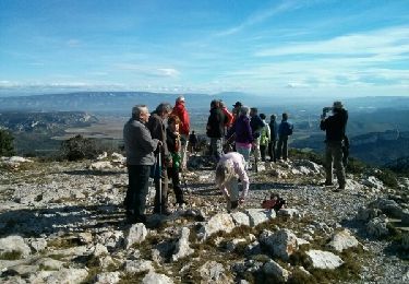
Walking
Walking

Walking
Walking
Walking


sport
Walking
Walking