


Gland du 24-04-2025

VANDERPUTTENMi
User GUIDE
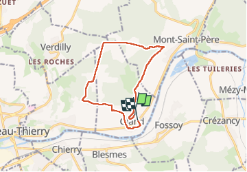

Length
11.3 km

Max alt
223 m

Uphill gradient
244 m
Km-Effort
14.6 km

Min alt
66 m

Downhill gradient
257 m
Boucle
No
Creation date :
2025-04-24 11:49:33.711
Updated on :
2025-04-24 18:46:04.189
2h54
Difficulty : Difficult

FREE GPS app for hiking
 SityTrail
IGN / Geographical institutes
SityTrail Plus
The world is yours!
About
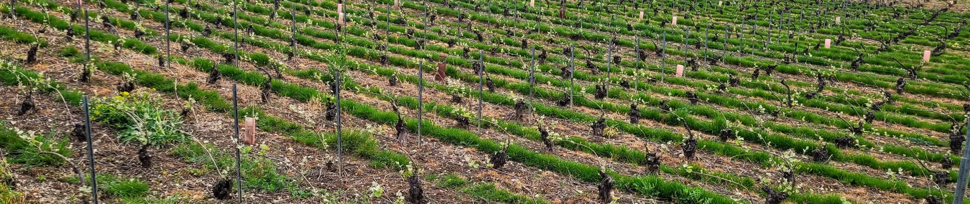
Trail Walking of 11.3 km to be discovered at Hauts-de-France, Aisne, Gland. This trail is proposed by VANDERPUTTENMi.
Photos


Positioning
Country:
France
Region :
Hauts-de-France
Department/Province :
Aisne
Municipality :
Gland
Location:
Unknown
Start:(Dec)
Start:(UTM)
533935 ; 5433212 (31U) N.
Comments