


La Clape hors des sentiers battus

ARVIEU
User
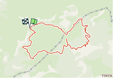

Length
11.9 km

Max alt
201 m

Uphill gradient
346 m
Km-Effort
16.5 km

Min alt
54 m

Downhill gradient
347 m
Boucle
Yes
Creation date :
2025-04-25 07:47:29.772
Updated on :
2025-04-25 07:52:40.516
4h30
Difficulty : Medium

FREE GPS app for hiking
 SityTrail
IGN / Geographical institutes
SityTrail Plus
The world is yours!
About
Trail Walking of 11.9 km to be discovered at Occitania, Aude, Narbonne. This trail is proposed by ARVIEU.
Description
Boucle sur la Montagne de la Clape passant près de la Chapelle de Notre-Dame des Auzils. A la Vigie, descente vers le Mas de Saint Obre, retour vers le plateau de Notre Dame.
Photos


Points of interest


Positioning
Country:
France
Region :
Occitania
Department/Province :
Aude
Municipality :
Narbonne
Location:
Unknown
Start:(Dec)
Start:(UTM)
506249 ; 4777512 (31T) N.
Comments