


Villiers-Louis 250427

Specialized77
User GUIDE
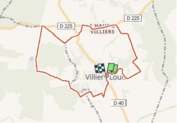

Length
9.5 km

Max alt
213 m

Uphill gradient
144 m
Km-Effort
11.4 km

Min alt
125 m

Downhill gradient
143 m
Boucle
Yes
Creation date :
2025-04-27 07:00:03.975
Updated on :
2025-04-27 18:52:20.469
2h26
Difficulty : Easy

FREE GPS app for hiking
 SityTrail
IGN / Geographical institutes
SityTrail Plus
The world is yours!
About
Trail Walking of 9.5 km to be discovered at Bourgogne-Franche-Comté, Yonne, Villiers-Louis. This trail is proposed by Specialized77.
Description
Avec Paron Rebondir
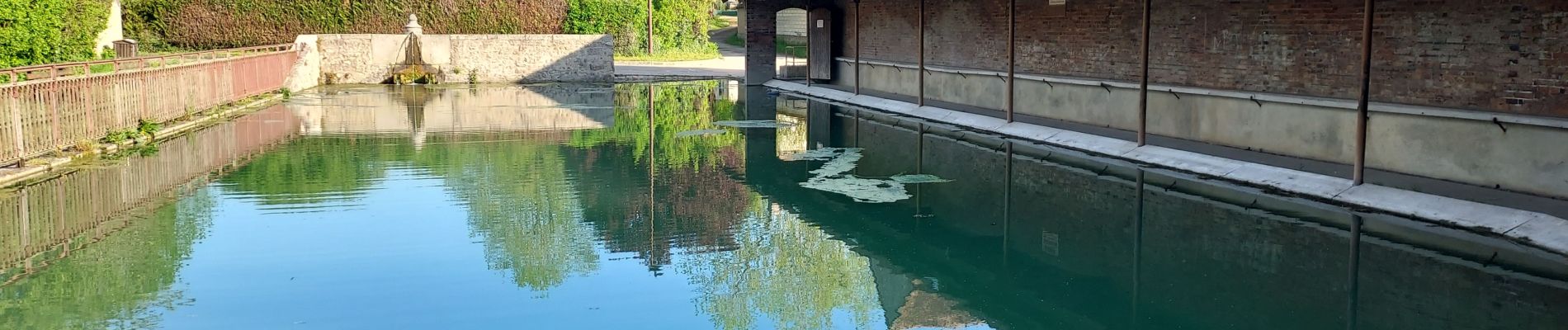
Photos


Positioning
Country:
France
Region :
Bourgogne-Franche-Comté
Department/Province :
Yonne
Municipality :
Villiers-Louis
Location:
Unknown
Start:(Dec)
Start:(UTM)
529897 ; 5337532 (31U) N.
Comments