


Montlune par La Meule

edevuyst
User
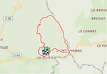

Length
7.1 km

Max alt
1196 m

Uphill gradient
420 m
Km-Effort
12.6 km

Min alt
787 m

Downhill gradient
408 m
Boucle
No
Creation date :
2025-04-29 11:49:40.0
Updated on :
2025-04-29 14:05:16.786
1h45
Difficulty : Difficult

FREE GPS app for hiking
 SityTrail
IGN / Geographical institutes
SityTrail Plus
The world is yours!
About
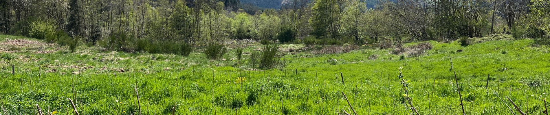
Trail Walking of 7.1 km to be discovered at Auvergne-Rhône-Alpes, Puy-de-Dôme, Arconsat. This trail is proposed by edevuyst.
Photos


Positioning
Country:
France
Region :
Auvergne-Rhône-Alpes
Department/Province :
Puy-de-Dôme
Municipality :
Arconsat
Location:
Unknown
Start:(Dec)
Start:(UTM)
557294 ; 5081518 (31T) N.
Comments