


tourtourel 860m 11.5kms

Danielba
User GUIDE
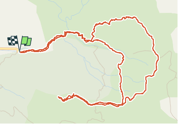

Length
9.5 km

Max alt
2048 m

Uphill gradient
773 m
Km-Effort
19.8 km

Min alt
1470 m

Downhill gradient
784 m
Boucle
Yes
Creation date :
2025-04-29 06:15:00.988
Updated on :
2025-04-29 14:42:58.461
6h52
Difficulty : Medium

FREE GPS app for hiking
 SityTrail
IGN / Geographical institutes
SityTrail Plus
The world is yours!
About
Trail Walking of 9.5 km to be discovered at Provence-Alpes-Côte d'Azur, Alpes-de-Haute-Provence, Seyne. This trail is proposed by Danielba .
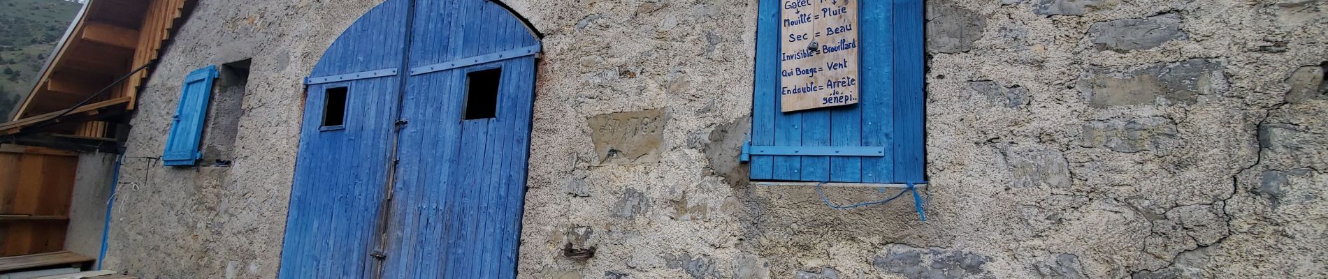
Photos


Positioning
Country:
France
Region :
Provence-Alpes-Côte d'Azur
Department/Province :
Alpes-de-Haute-Provence
Municipality :
Seyne
Location:
Unknown
Start:(Dec)
Start:(UTM)
294473 ; 4910538 (32T) N.
Comments