


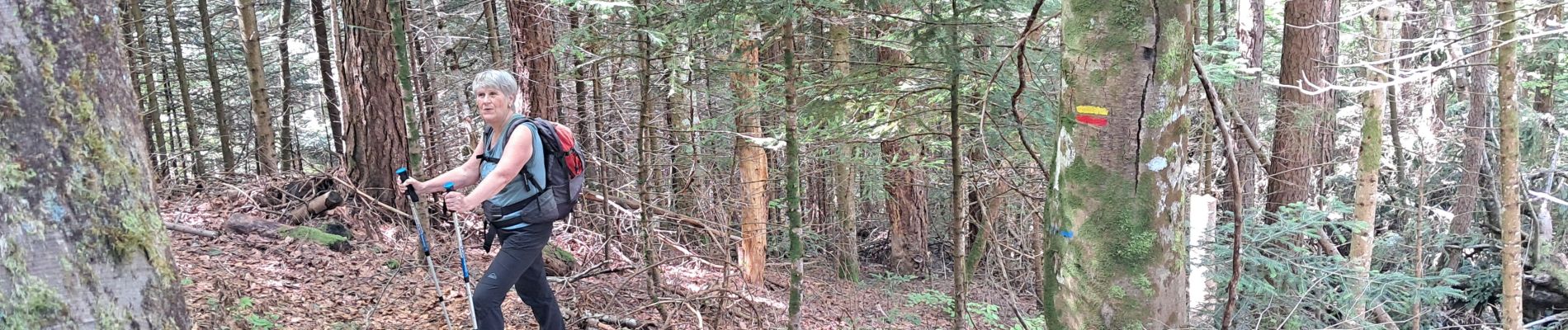
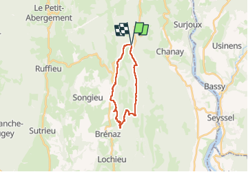
AIN: COL DE RICHEMONT SUD VIA GR VALROMEY

djeepee74
User

Length
17.6 km

Max alt
1258 m

Uphill gradient
672 m
Km-Effort
27 km

Min alt
850 m

Downhill gradient
678 m
Boucle
Yes
Creation date :
2025-04-29 07:31:39.807
Updated on :
2025-05-09 09:00:01.558
6h02
Difficulty : Difficult

FREE GPS app for hiking
 SityTrail
IGN / Geographical institutes
SityTrail Plus
The world is yours!
About
Trail Walking of 17.6 km to be discovered at Auvergne-Rhône-Alpes, Ain, Chanay. This trail is proposed by djeepee74.
Photos

Positioning
Country:
France
Region :
Auvergne-Rhône-Alpes
Department/Province :
Ain
Municipality :
Chanay
Location:
Unknown
Start:(Dec)
Start:(UTM)
712685 ; 5098789 (31T) N.
Comments