


St Niez d'Uriage

Youcef Atallah
User
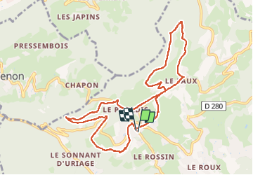

Length
10.8 km

Max alt
930 m

Uphill gradient
448 m
Km-Effort
16.7 km

Min alt
531 m

Downhill gradient
447 m
Boucle
Yes
Creation date :
2025-04-30 06:25:45.407
Updated on :
2025-05-01 10:21:25.417
3h48
Difficulty : Difficult

FREE GPS app for hiking
 SityTrail
IGN / Geographical institutes
SityTrail Plus
The world is yours!
About
Trail Walking of 10.8 km to be discovered at Auvergne-Rhône-Alpes, Isère, Saint-Martin-d'Uriage. This trail is proposed by Youcef Atallah.
Description
circuit
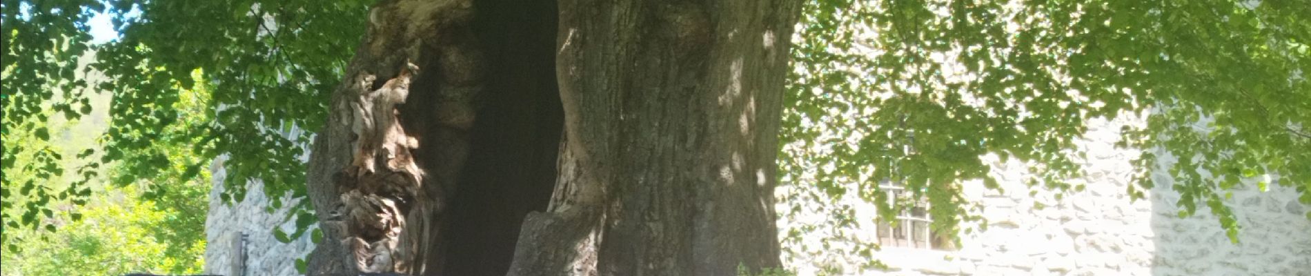
Photos


Positioning
Country:
France
Region :
Auvergne-Rhône-Alpes
Department/Province :
Isère
Municipality :
Saint-Martin-d'Uriage
Location:
Unknown
Start:(Dec)
Start:(UTM)
722894 ; 5004934 (31T) N.
Comments