


Les Faures via la cabane du Maquis

edevuyst
User
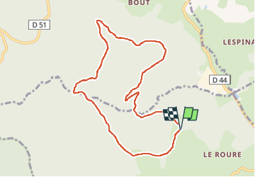

Length
9.6 km

Max alt
973 m

Uphill gradient
285 m
Km-Effort
13.4 km

Min alt
761 m

Downhill gradient
286 m
Boucle
Yes
Creation date :
2025-04-30 09:51:04.0
Updated on :
2025-04-30 12:10:54.851
2h00
Difficulty : Difficult

FREE GPS app for hiking
 SityTrail
IGN / Geographical institutes
SityTrail Plus
The world is yours!
About
Trail Walking of 9.6 km to be discovered at Auvergne-Rhône-Alpes, Loire, Chausseterre. This trail is proposed by edevuyst.
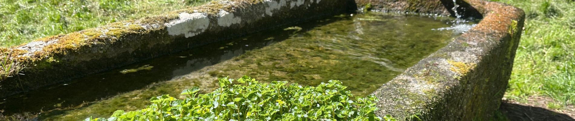
Photos


Positioning
Country:
France
Region :
Auvergne-Rhône-Alpes
Department/Province :
Loire
Municipality :
Chausseterre
Location:
Unknown
Start:(Dec)
Start:(UTM)
560302 ; 5084584 (31T) N.
Comments