


BOUCLE AUTOUR DE LA COUZE DE SURAINS

walrou63
User
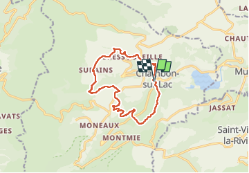

Length
13.1 km

Max alt
1193 m

Uphill gradient
414 m
Km-Effort
18.6 km

Min alt
886 m

Downhill gradient
417 m
Boucle
Yes
Creation date :
2025-04-30 08:54:02.827
Updated on :
2025-04-30 17:52:04.918
3h30
Difficulty : Difficult

FREE GPS app for hiking
 SityTrail
IGN / Geographical institutes
SityTrail Plus
The world is yours!
About
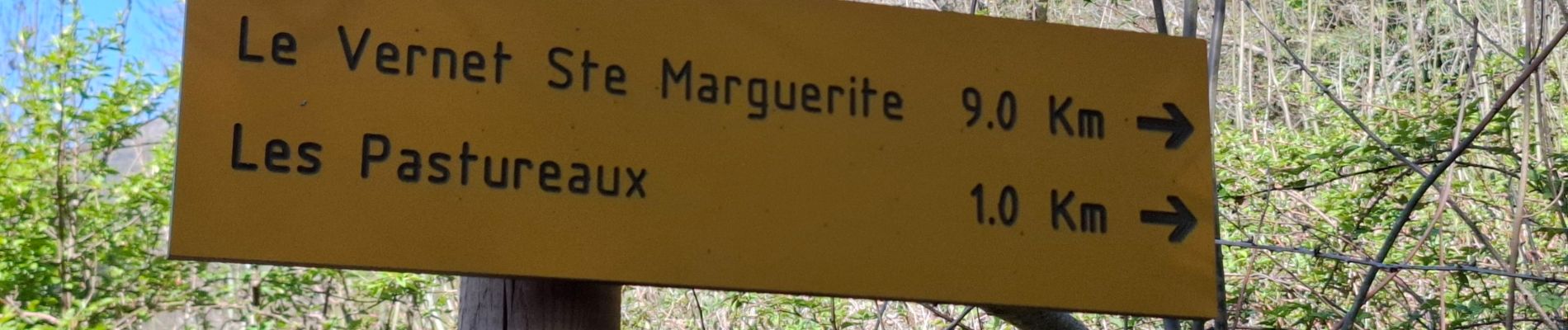
Trail Walking of 13.1 km to be discovered at Auvergne-Rhône-Alpes, Puy-de-Dôme, Chambon-sur-Lac. This trail is proposed by walrou63.
Photos


28 photos in total. Please click on a photo to see them all in the gallery.
Positioning
Country:
France
Region :
Auvergne-Rhône-Alpes
Department/Province :
Puy-de-Dôme
Municipality :
Chambon-sur-Lac
Location:
Unknown
Start:(Dec)
Start:(UTM)
491922 ; 5046314 (31T) N.
Comments