


69-CHAPELLE_VINCENT_20km555m

SyMA
User
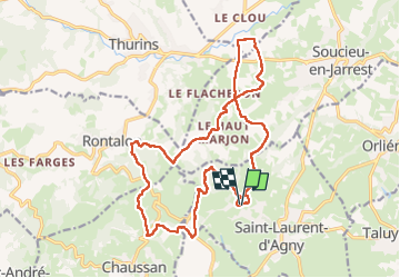

Length
19.6 km

Max alt
555 m

Uphill gradient
554 m
Km-Effort
27 km

Min alt
312 m

Downhill gradient
553 m
Boucle
Yes
Creation date :
2025-05-01 06:40:57.886
Updated on :
2025-05-01 17:07:14.103
5h56
Difficulty : Difficult

FREE GPS app for hiking
 SityTrail
IGN / Geographical institutes
SityTrail Plus
The world is yours!
About
Trail Walking of 19.6 km to be discovered at Auvergne-Rhône-Alpes, Rhône, Saint-Laurent-d'Agny. This trail is proposed by SyMA.
Description
Depart Chapelle
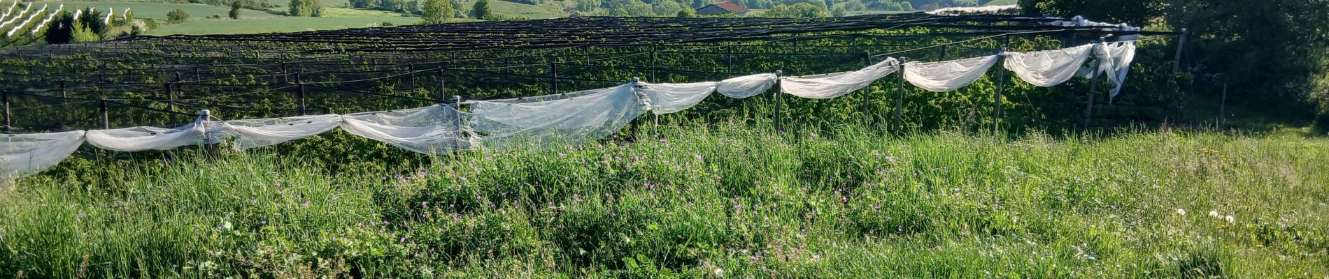
Photos


Positioning
Country:
France
Region :
Auvergne-Rhône-Alpes
Department/Province :
Rhône
Municipality :
Saint-Laurent-d'Agny
Location:
Unknown
Start:(Dec)
Start:(UTM)
630358 ; 5056163 (31T) N.
Comments