


2025-05-01 Reco-La sioule

Nordic33
User GUIDE
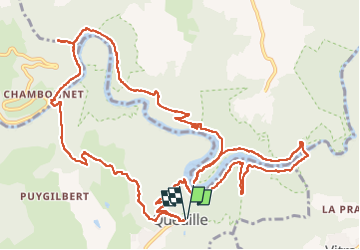

Length
16.5 km

Max alt
678 m

Uphill gradient
635 m
Km-Effort
25 km

Min alt
418 m

Downhill gradient
636 m
Boucle
Yes
Creation date :
2025-05-01 08:04:17.422
Updated on :
2025-05-29 09:16:59.8
7h49
Difficulty : Very difficult

FREE GPS app for hiking
 SityTrail
IGN / Geographical institutes
SityTrail Plus
The world is yours!
About
Trail Walking of 16.5 km to be discovered at Auvergne-Rhône-Alpes, Puy-de-Dôme, Queuille. This trail is proposed by Nordic33.
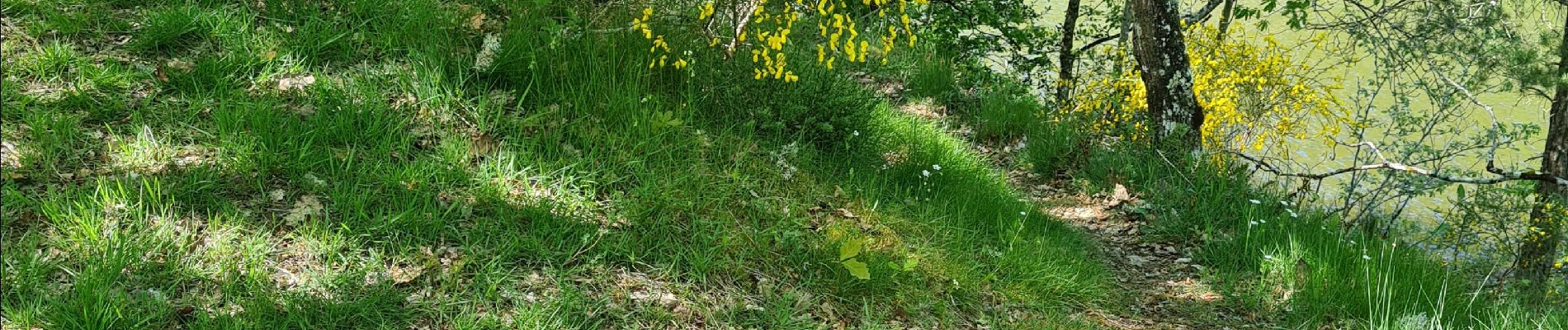
Photos


29 photos in total. Please click on a photo to see them all in the gallery.
Positioning
Country:
France
Region :
Auvergne-Rhône-Alpes
Department/Province :
Puy-de-Dôme
Municipality :
Queuille
Location:
Unknown
Start:(Dec)
Start:(UTM)
488339 ; 5091011 (31T) N.
Comments