


2025-05-02-Reco-Le puy de la vache

Nordic33
User GUIDE
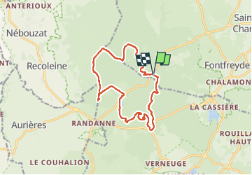

Length
14.6 km

Max alt
1174 m

Uphill gradient
465 m
Km-Effort
21 km

Min alt
952 m

Downhill gradient
468 m
Boucle
Yes
Creation date :
2025-05-02 07:28:55.563
Updated on :
2025-05-29 09:17:55.848
6h16
Difficulty : Very difficult

FREE GPS app for hiking
 SityTrail
IGN / Geographical institutes
SityTrail Plus
The world is yours!
About
Trail Walking of 14.6 km to be discovered at Auvergne-Rhône-Alpes, Puy-de-Dôme, Saint-Genès-Champanelle. This trail is proposed by Nordic33.
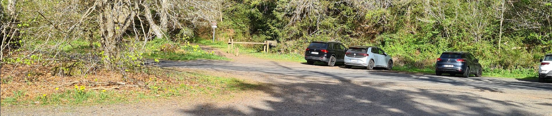
Photos


Positioning
Country:
France
Region :
Auvergne-Rhône-Alpes
Department/Province :
Puy-de-Dôme
Municipality :
Saint-Genès-Champanelle
Location:
Unknown
Start:(Dec)
Start:(UTM)
497475 ; 5060885 (31T) N.
Comments