


ile de St Martin + la clape

ericf64
User
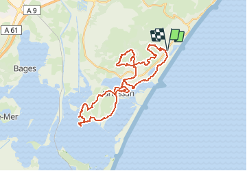

Length
39 km

Max alt
74 m

Uphill gradient
430 m
Km-Effort
45 km

Min alt
-7 m

Downhill gradient
430 m
Boucle
Yes
Creation date :
2015-07-13 00:00:00.0
Updated on :
2015-07-13 00:00:00.0
6h14
Difficulty : Medium

FREE GPS app for hiking
 SityTrail
IGN / Geographical institutes
SityTrail Plus
The world is yours!
About
Trail Mountain bike of 39 km to be discovered at Occitania, Aude, Gruissan. This trail is proposed by ericf64.
Description
Gruissan
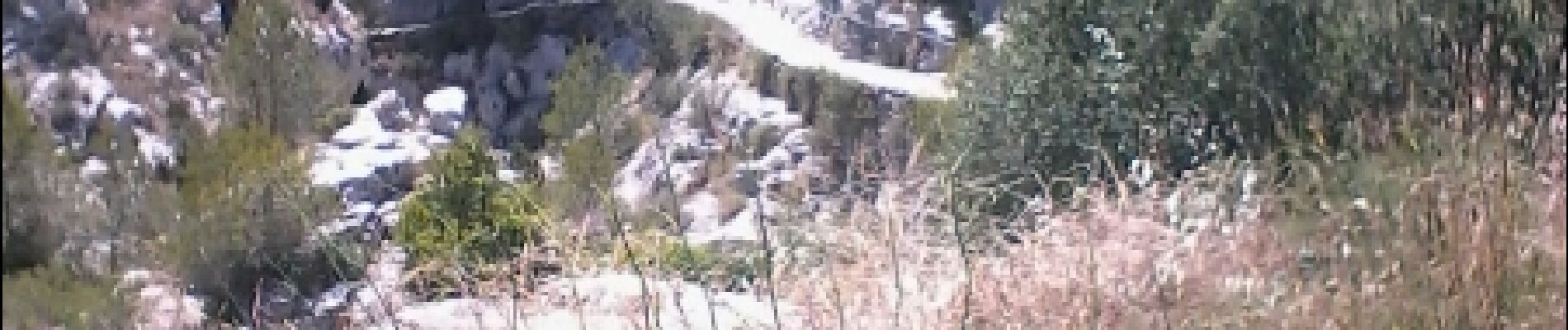
Photos


Positioning
Country:
France
Region :
Occitania
Department/Province :
Aude
Municipality :
Gruissan
Location:
Unknown
Start:(Dec)
Start:(UTM)
511040 ; 4775938 (31T) N.
Comments