


lassale Sainte Croix de Caderle

JMJ42
User
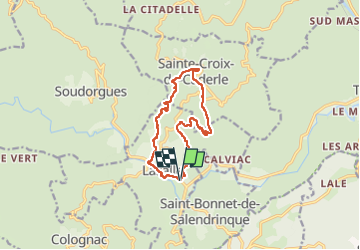

Length
12.4 km

Max alt
599 m

Uphill gradient
461 m
Km-Effort
18.6 km

Min alt
274 m

Downhill gradient
461 m
Boucle
Yes
Creation date :
2025-05-06 07:31:05.214
Updated on :
2025-05-06 13:10:49.322
3h51
Difficulty : Difficult

FREE GPS app for hiking
 SityTrail
IGN / Geographical institutes
SityTrail Plus
The world is yours!
About
Trail Walking of 12.4 km to be discovered at Occitania, Gard, Lasalle. This trail is proposed by JMJ42.
Description
réalisée
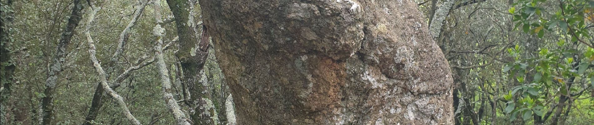
Photos

Positioning
Country:
France
Region :
Occitania
Department/Province :
Gard
Municipality :
Lasalle
Location:
Unknown
Start:(Dec)
Start:(UTM)
568900 ; 4876984 (31T) N.
Comments