


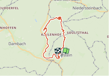
Windstein

oscar1
User

Length
16.1 km

Max alt
524 m

Uphill gradient
599 m
Km-Effort
24 km

Min alt
231 m

Downhill gradient
600 m
Boucle
Yes
Creation date :
2025-05-07 07:37:14.532
Updated on :
2025-05-08 14:50:07.524
4h02
Difficulty : Medium

FREE GPS app for hiking
 SityTrail
IGN / Geographical institutes
SityTrail Plus
The world is yours!
About
Trail Walking of 16.1 km to be discovered at Grand Est, Bas-Rhin, Windstein. This trail is proposed by oscar1.
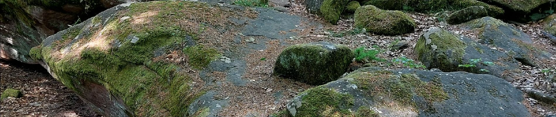
Photos


Positioning
Country:
France
Region :
Grand Est
Department/Province :
Bas-Rhin
Municipality :
Windstein
Location:
Unknown
Start:(Dec)
Start:(UTM)
403633 ; 5427554 (32U) N.
Comments