


canal de la marne au rhin

Pascal84
User
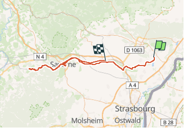

Length
107 km

Max alt
291 m

Uphill gradient
969 m
Km-Effort
120 km

Min alt
128 m

Downhill gradient
953 m
Boucle
No
Creation date :
2025-05-07 06:33:07.887
Updated on :
2025-05-07 15:07:27.731
8h33
Difficulty : Very difficult

FREE GPS app for hiking
 SityTrail
IGN / Geographical institutes
SityTrail Plus
The world is yours!
About
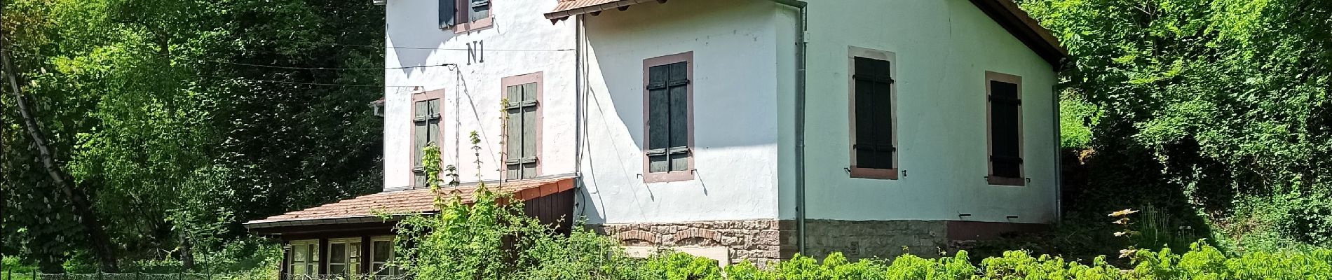
Trail Hybrid bike of 107 km to be discovered at Grand Est, Bas-Rhin, Bischwiller. This trail is proposed by Pascal84.
Photos


Positioning
Country:
France
Region :
Grand Est
Department/Province :
Bas-Rhin
Municipality :
Bischwiller
Location:
Unknown
Start:(Dec)
Start:(UTM)
415434 ; 5402233 (32U) N.
Comments