


42-PELUSSIN_20km610m

SyMA
User
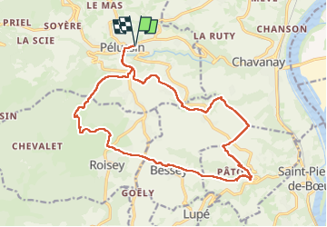

Length
19.9 km

Max alt
679 m

Uphill gradient
613 m
Km-Effort
28 km

Min alt
240 m

Downhill gradient
613 m
Boucle
Yes
Creation date :
2025-05-08 07:02:40.023
Updated on :
2025-05-09 14:29:45.465
5h45
Difficulty : Difficult

FREE GPS app for hiking
 SityTrail
IGN / Geographical institutes
SityTrail Plus
The world is yours!
About
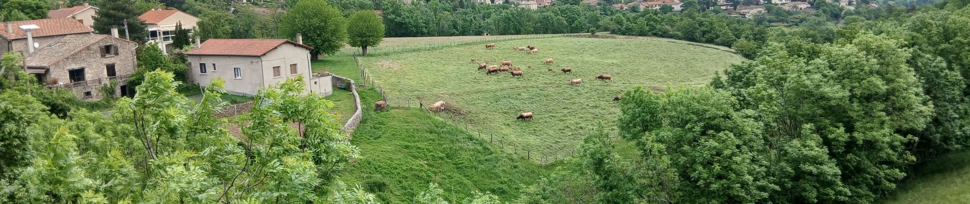
Trail Walking of 19.9 km to be discovered at Auvergne-Rhône-Alpes, Loire, Pélussin. This trail is proposed by SyMA.
Photos


21 photos in total. Please click on a photo to see them all in the gallery.
Positioning
Country:
France
Region :
Auvergne-Rhône-Alpes
Department/Province :
Loire
Municipality :
Pélussin
Location:
Unknown
Start:(Dec)
Start:(UTM)
631695 ; 5030793 (31T) N.
Comments